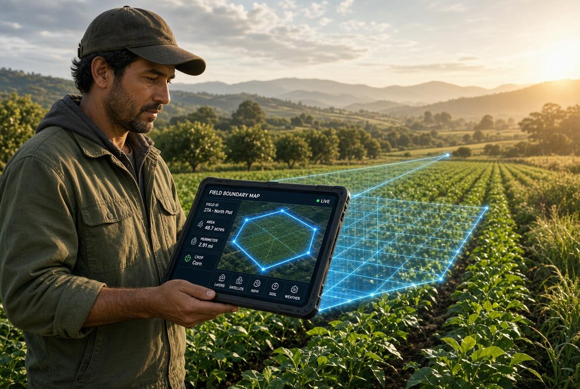
Capturing a single set of GPS coordinates at a front door is no longer enough for modern impact evaluations.
Whether measuring agricultural yield, assessing post-disaster infrastructure damage, or mapping water point distribution across rural districts, field teams require rich geospatial context. Yet, most research teams are forced to equip enumerators with two separate devices—or two different apps—one for completing the verbal survey and another for collecting GIS spatial data.
Carrying separate tools creates immense operational drag, increases hardware costs, and guarantees spatial data mismatch during analysis.
The Bottlenecks of Basic Location Capture
Relying on standard location pins or secondary mapping applications introduces severe technical barriers during field operations:
- Distorted Acreage & Boundaries: Asking farmers to estimate plot size verbally leads to massive reporting bias. Without native polygon mapping, teams cannot accurately verify land area, agricultural productivity, or intervention scope.
- Disconnected GIS Layers: When enumerators collect spatial data in a standalone GIS app and survey responses in a separate form builder, analysts spend weeks attempting to align timestamps and household identifiers to join the datasets.
- Offline Map Failures: Generic forms pining a GPS coordinate often rely on live Google Maps tile servers to show background maps. In zero-connectivity zones, enumerators see only a blank grey grid, rendering visual spatial verification impossible.
Integrated Geospatial Surveying
To capture reality with exact precision, research software must treat spatial data—points, lines, and complex polygons—as native survey elements.
This is where KAPsurvey elevates field operations. The platform embeds full geospatial mapping capabilities directly into the survey workflow, eliminating the need for external GIS hardware or secondary software.
Key geospatial capabilities include:
- Native Point, Line, and Polygon Capture: Field enumerators can trace agricultural boundaries, map pipeline paths, or record exact household clusters directly within the survey form, capturing area calculations automatically in real time.
- Offline Vector Basemaps: Project directors can pre-load custom vector basemaps, satellite imagery, or administrative boundaries onto field devices. Enumerators maintain complete map visibility even hundreds of miles from the nearest cell tower.
- Spatial Logic & Geofencing Constraints: Prevent data errors before submission by embedding spatial validation rules. Set geofences to ensure enumerators are physically within the assigned sampling cluster before the survey unlock, guaranteeing strict adherence to sampling protocols.
Spatial Intelligence for Greater Impact
Grounding your data in precise geographic context unlocks deeper insights, allowing stakeholders to visualize spatial patterns, proximity factors, and regional variations instantly.
Streamline your spatial data collection and equip your field teams with true mapping intelligence. Visit KAPsurvey to explore advanced geospatial features built for complex field environments.